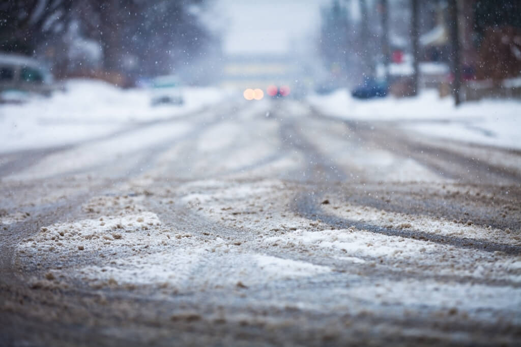
Like cold and snow? Hate it?
Either way, there’ll be something for everybody this winter, according to meteorologists.
While this winter season is expected to be harsher than last, that isn’t saying a lot.
“That’s not a huge limb to go out on since last year was one of our warmest winters on record,” Rich Pollman, warning coordination meteorologist for the White Lake Township office of the National Weather Service, said of forecasting harsher weather this December, January and February.
On Thursday, the National Oceanic and Atmospheric Administration’s Climate Prediction Center issued the U.S. Winter Outlook. Today, Pollman told the Free Press what that means for Michigan.
He said there is a likelihood of above-normal temperatures across the southern half of the U.S. and a likelihood of below-normal temperatures from the Upper Peninsula back to North Dakota, South Dakota and Montana.
Those extremes — above-normal temps to the south and below-normal temps to the north — leads to a more active storm track for the central part of the country, Pollman said.
“What that means for us is that we’re looking at a better likelihood of above-normal precipitation and temperatures that are going to be highly variable across lower Michigan,” he said.
It wouldn’t be surprising if some storm systems brought temperatures in the 50s with rain and then an arctic air mass could plunge in with lake effect snow, he said.
The Climate Prediction Center gave metro Detroit equal chances of all of these this winter: normal temperatures, below normal or above normal.
“We’re going to have the highs and the lows. We’re going to have warm air and cold air, both,” he said. “We’re going to have rain, we’re going to have mixed precipitation and we’re going to have snow. We’re going to a have a little bit of everything this winter.”
